Calverton Phase 2
Land South of Oxton Road, Calverton

Help shape proposals for Calverton Phase 2.
Land South of Oxton Road, Calverton.
Welcome to our consultation website showing proposals for Persimmon Homes, Phase 2 at Calverton.
The site is designated as Safeguarded Land within the Local Plan, which means it falls outside the Green Belt.
We are seeking your views on the proposals as designs start to take shape.
We want to provide a welcoming and sustainable new development that delivers benefits for the existing community as well as new residents.
We are keen to hear your thoughts to help shape the proposals. Keep reading to find out more and how you can have your say.
Please note, the deadline for feedback is Monday 23rd February 2026.
The Site
The site lies immediately north of Calverton, bordered by existing housing to the south, industrial development to the west, and Oxton Road to the north.
Extending across 19 acres, the land is currently in agricultural use and is defined by hedgerows along the boundaries, with established trees and hedging along Oxton Road.
A Public Right of Way crosses through the site running from the Phase 1 development in the southwestern corner. The topography of the land rises gradually from north to south.
To the south, Persimmon Homes are delivering the approved development at Land North-West, Park Road, comprising 363 homes including 73 affordable units. Access to the proposed site would be taken from the existing Phase 1 network via Peasant Way and Stag Drive.
The land is identified in the ‘North-West Quadrant Urban Extension’ in the Calverton Neighbourhood Plan, which is identified as the main location for future growth.
The site is in Flood Zone 1, which is the lowest probability of river flooding.

Our Proposals
The development proposes up to 160 new homes, offering a broad mix of 1–5-bedroom properties including detached, semi-detached and terraced homes. The range is designed to meet a variety of needs and budgets, from smaller starter homes suitable for single people and couples, through to larger family homes and bungalows.
In line with local policy, 20% of the homes will be delivered as affordable housing, equating to up to 32 affordable homes within the scheme.
An indicative masterplan has been provided demonstrating how the development could be arranged on site:

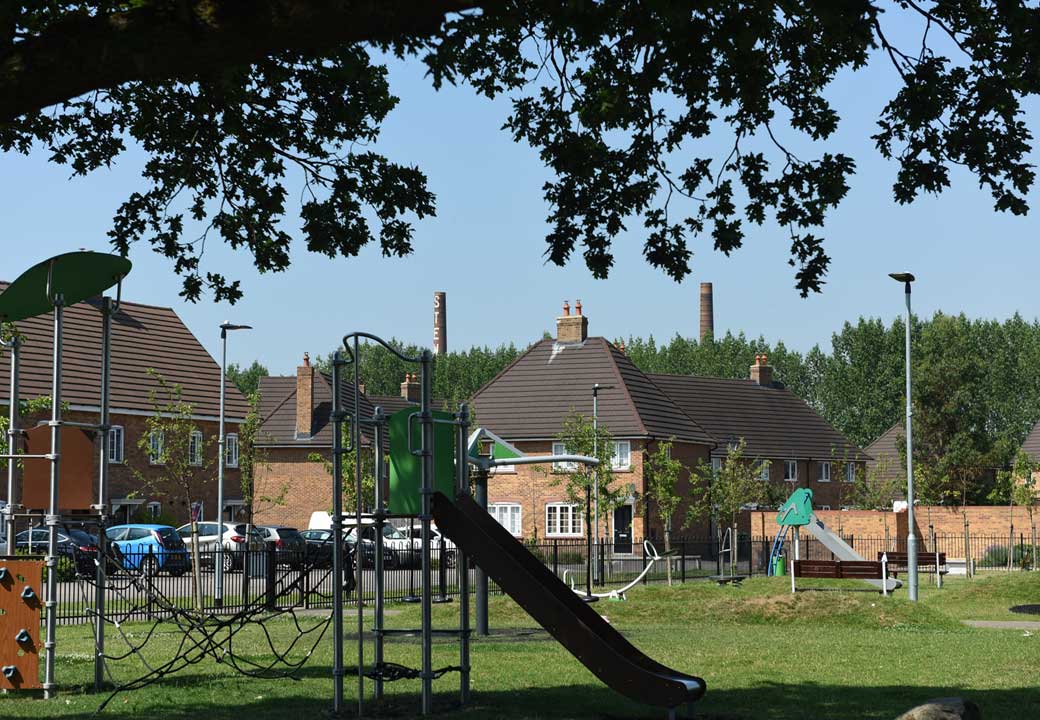
A tree-lined central avenue forms the primary spine of the development, accompanied by a generous area of public open space to the eastern side, which incorporates a new children’s play area, footpaths and ponds for drainage.
The layout promotes strong connectivity, incorporating two vehicular access points, a safeguarded link to the east, and a shared cycleway along the primary route. Provision will also be made for a bus route running through the site, including new bus stops.
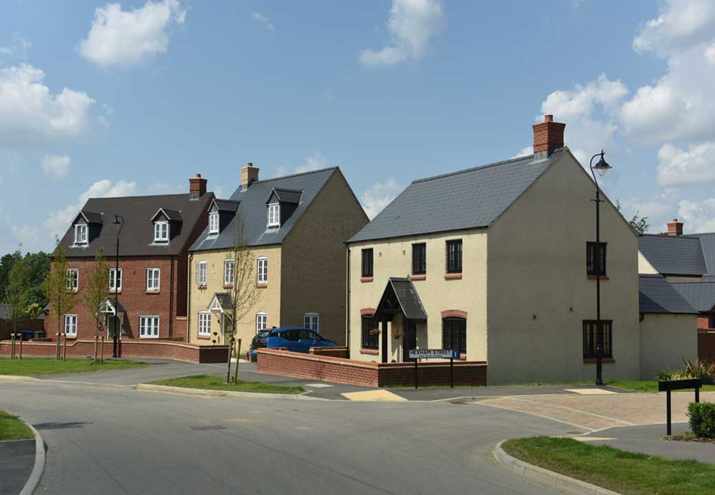
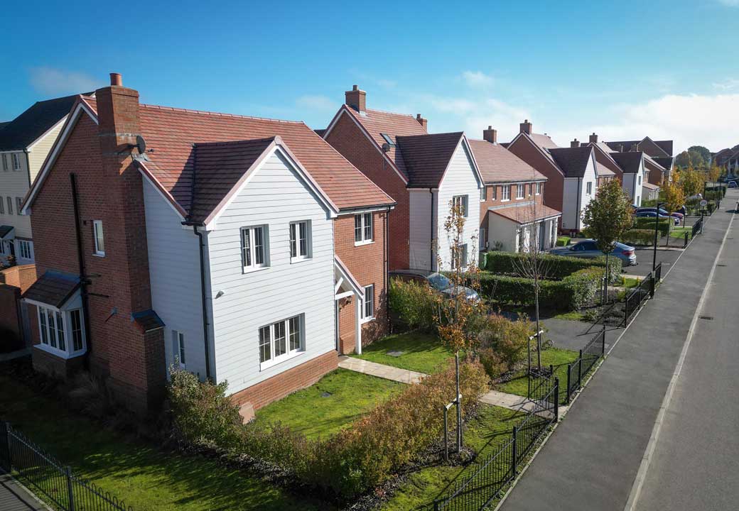
The design will be of high quality to reflect the new standards set out in Gedling Borough Councils new Design Code.
Parking is provided in accordance with the Council’s adopted Supplementary Planning Document and surrounding roads will be assessed to ensure there would be no adverse impact on highway safety.
Existing trees and hedgerows along field boundaries will be preserved and reinforced to support biodiversity and habitat connectivity.
To effectively manage surface water runoff and reduce flood risk, Suitable locations for Sustainable Drainage Systems (SuDS) have been identified. These will also feature new planting to promote biodiversity, as well as ensuring there would not be any increase in flooding.
Key Benefits
- Generous area of public open space featuring a new play area for the whole community.
- Provision of up to 32 new affordable homes (based on 20% of overall number of homes).
- Provision of new bus stops within the development.
- Planning contributions towards infrastructure including healthcare and schools.
- Substantial Community Infrastructure Levy receipts. c.£850,000.
- New footpaths and cycle ways for the benefit of the wider community.
- New landscaped areas throughout the site for local people and wildlife.
- A minimum of 10% biodiversity net gain including the provision of ecological enhancements such as bird, bat boxes and insect hotels.
- New homes with a mix of types and tenures to provide for a range of local people including families, first time buyers, and older people.
- High quality design which reflects the local character and context.
- Energy efficient design including solar panels and water efficiency measures alongside electric vehicle charging points.
- 82 direct FTE construction jobs per year.
- 110 indirect and induced FTE jobs per year.
- £17,582,782 of Gross Value Added per annum.
- £4,432,064 (p.a) of total gross household expenditure.
- Section 106 Contributions – c.1.75 million.
- Community Infrastructure Levy Circa £850,000.
Exemplary Images